New update, new functionalities
Geofield Cloud has arrived, our next generation cloud offering following our established Geofield mobile spatial solution, designed for field-based work management. With new functionalities delivered as SaaS, we’ve ensured that Geofield Cloud accommodates more customers, and resolves more business challenges, even when offline.
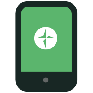
Cross-platform
Geofield Cloud provides the same user experience across all Android, iOS and Windows devices.
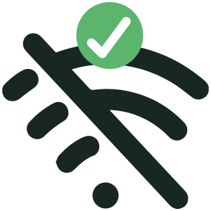
No signal, no problem
Full offline capability and near-real time bi-directional updates when reconnected.
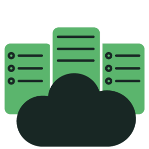
Cloud hosted
No additional IT overheads and ability to onboard new users and third-party contractors instantly.
What it does
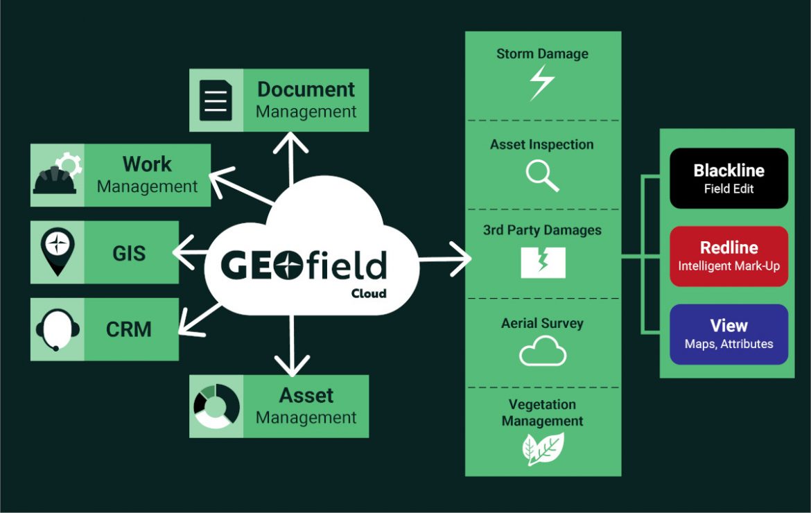
Geofield Cloud provides a map-based, task centric and supportive environment for the field technician. Through the use of digital workflows, data from multiple sources that is required for a particular task is presented to the user.
Interaction is enabled through mapping, graphics, intelligent forms, photographs and third-party devices. Data captured, including urgent network changes, is automatically returned to back-office enterprise systems and can also be directly shared with other field staff in near-real-time.
Geofield Cloud helps organisations optimise their use of field technologies by seamlessly bringing together all aspects of the enterprise from a task, data and business perspective.

Wales and West Utilities


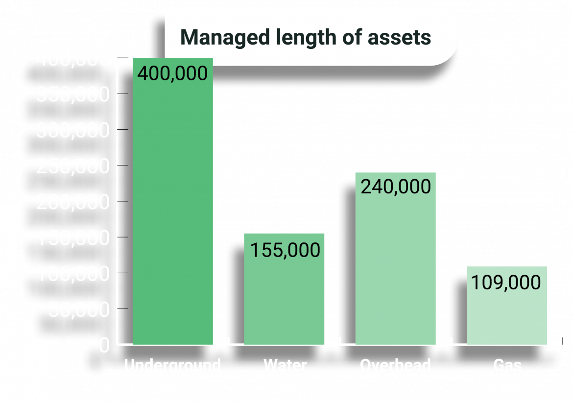
Information correct as of March 2023
